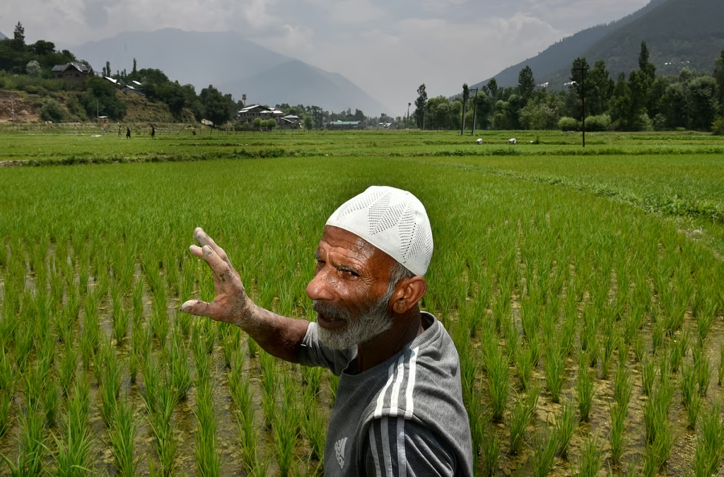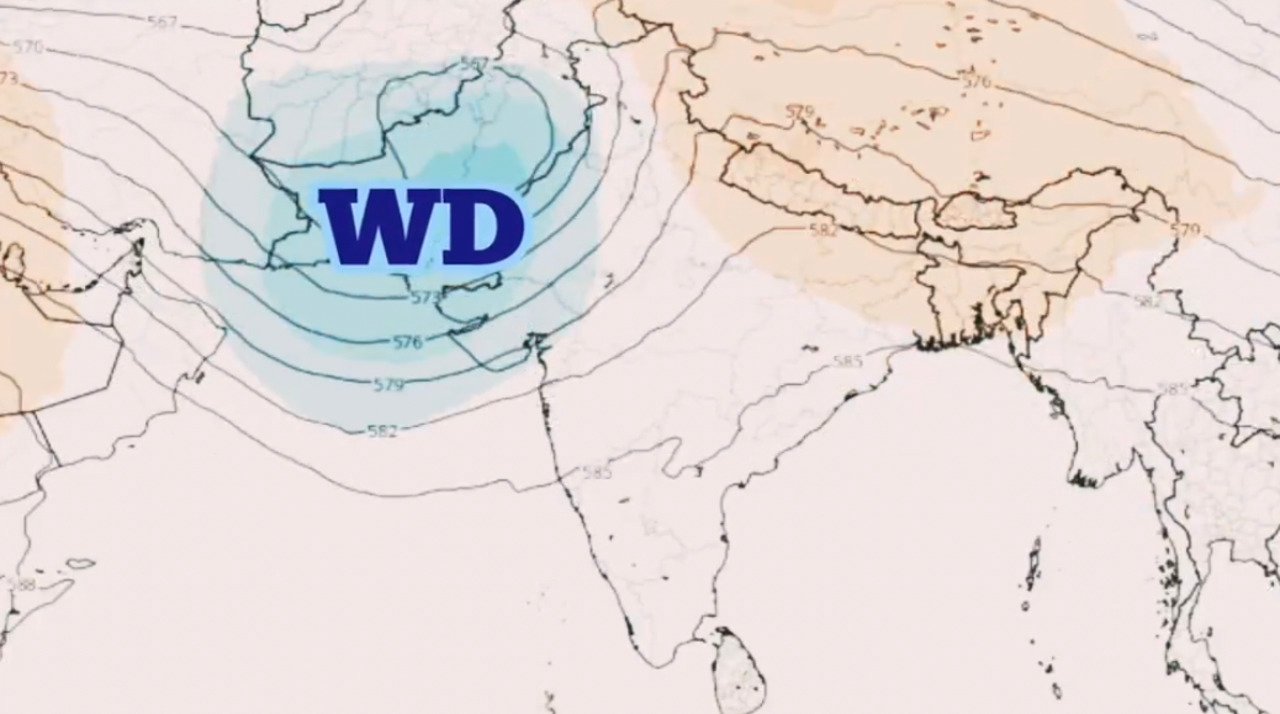
Srinagar,April 3, 2026- Jammu and Kashmir is set to witness a fresh spell of widespread rain and snowfall from Friday afternoon (April 3) to April 4 under the influence of an active western disturbance, officials said.
According to the Meteorological Department, the weather system is expected to trigger widespread precipitation across the Union Territory, with moderate to heavy rain in plains and snowfall in higher reaches. Thunderstorms accompanied by lightning and gusty winds are also likely at several places.
The India Meteorological Department (IMD) has warned that the peak intensity of the system will occur between April 3 and 4, with chances of hailstorms in isolated areas due to unstable atmospheric conditions.
Higher reaches of Kashmir and Jammu divisions are expected to receive fresh snowfall, while plains may witness steady rainfall. Some areas could experience intense bursts of rain or snow during the peak period.
Authorities have issued alerts for increased landslide risk, particularly along the Ramban–Banihal stretch of National Highway-44, as well as vulnerable districts including Doda, Kishtwar, Kupwara and Poonch. Commuters have been advised to exercise caution and stay updated on road and weather conditions.
The weather activity may lead to temporary disruptions in surface transport, especially in hilly and landslide-prone areas. Residents have also been advised to avoid unnecessary travel during periods of intense rainfall, thunderstorms, or snowfall.
Officials said the system is likely to bring a dip in temperatures across the region, offering a brief return of wintry conditions before gradual improvement after April 5.